Route 1, the Hringvegur, is about 1,322 kilometres. It is two lanes most of the way. One-lane bridges are still common in the east. You give way according to the sign, not according to who is on holiday. Sheep stand on the tarmac. They are not a metaphor.
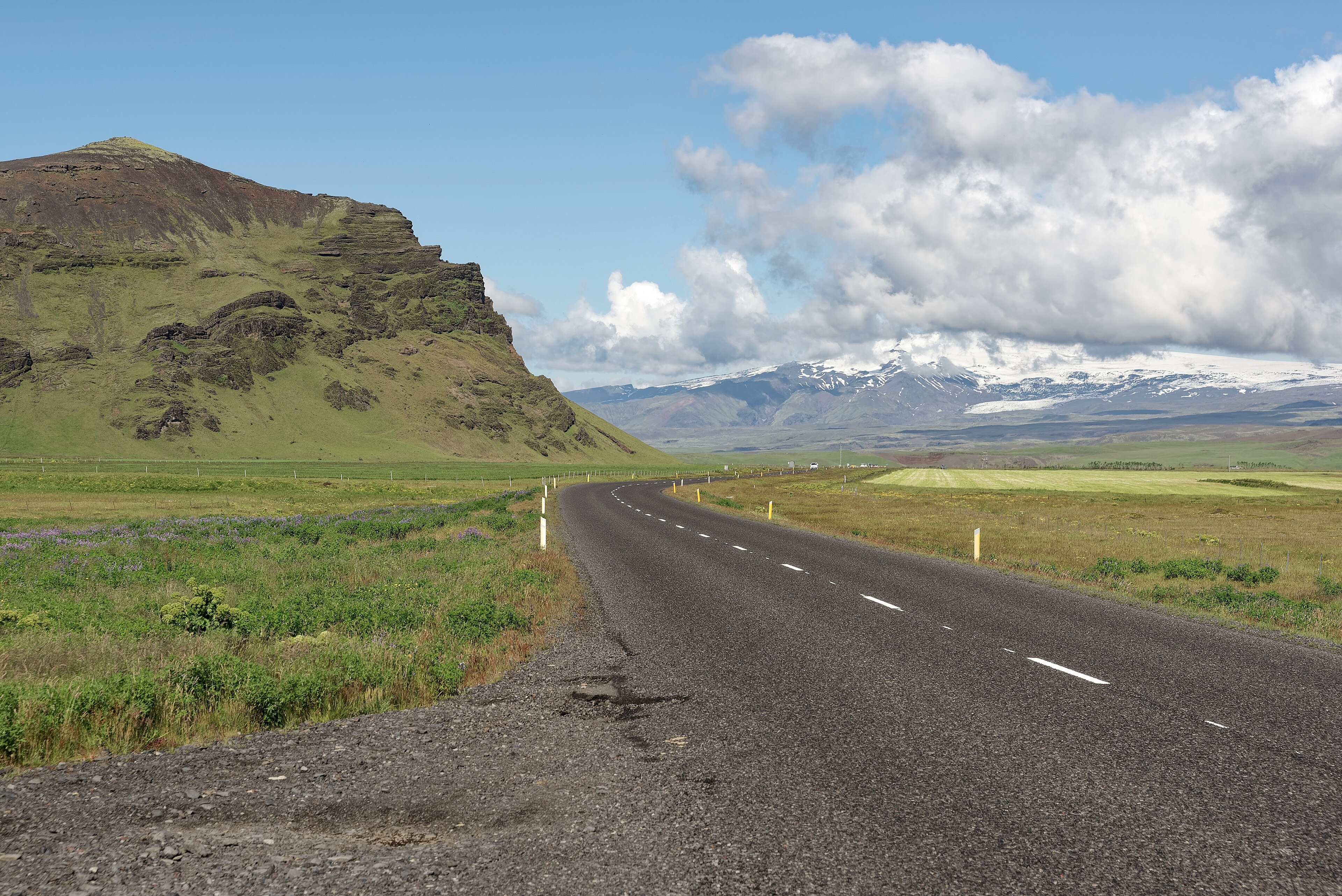
Seasons
Winter is wind and ice. The road agency closes stretches, sometimes for a morning, sometimes for days. Summer is when most visitors use the ring, and even then a storm in the south-east will stop you. Weather is the timetable. The map is not.
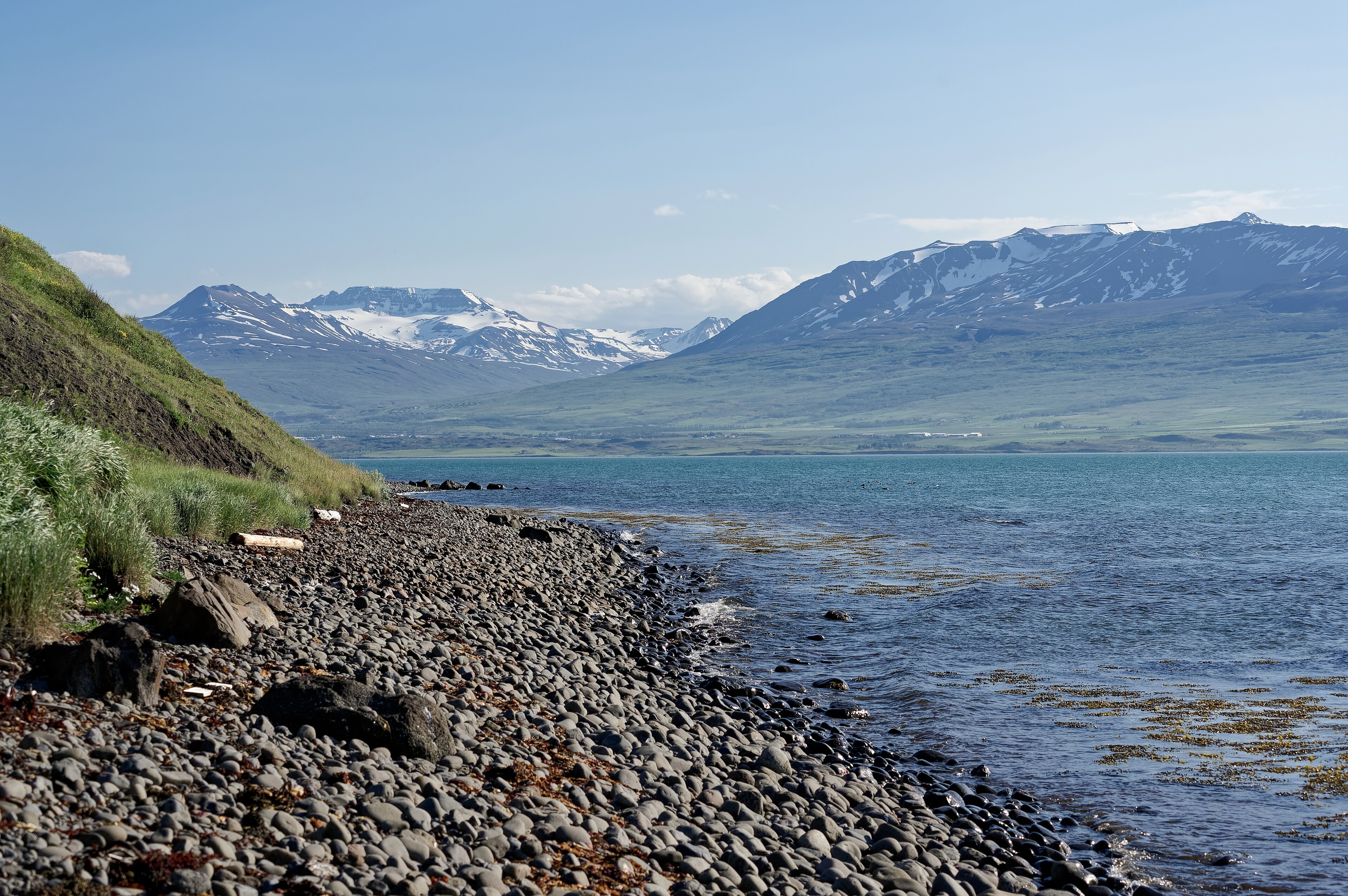
Fuel spacing
Between towns the next pump can be an hour or more. Fill when you can. We do not name chains. The fact is the gap, not the brand. A quarter tank on a fine day in the east is how people end up waiting on a verge.
How to use it
Do not treat the ring as a race. A week is tight. Ten days lets you sleep. The south coast and the Golden Circle already fill days before you have seen the north. East of Akureyri the road now uses a tunnel instead of the old mountain pass. That note lives on the home page and with the north.
Speed limits are posted. Gravel shoulders eat tyres. Headlights stay on. None of this is local colour. It is how the road is driven.