Akureyri on the western shore of Eyjafjörður, seen across the fjord

A visitor's gazette · Iceland

The northern town, then the fjord

Akureyri sits on Eyjafjörður. East of it, Route 1 uses a tunnel.

Akureyri sits on the western shore of Eyjafjörður, about 100 kilometres south of the Arctic Circle. It is the town of the north. A harbour, a hospital, a university, a botanical garden that makes a point of growing trees this far north. In winter the fjord holds the weather. In summer it is the base for the north and east.
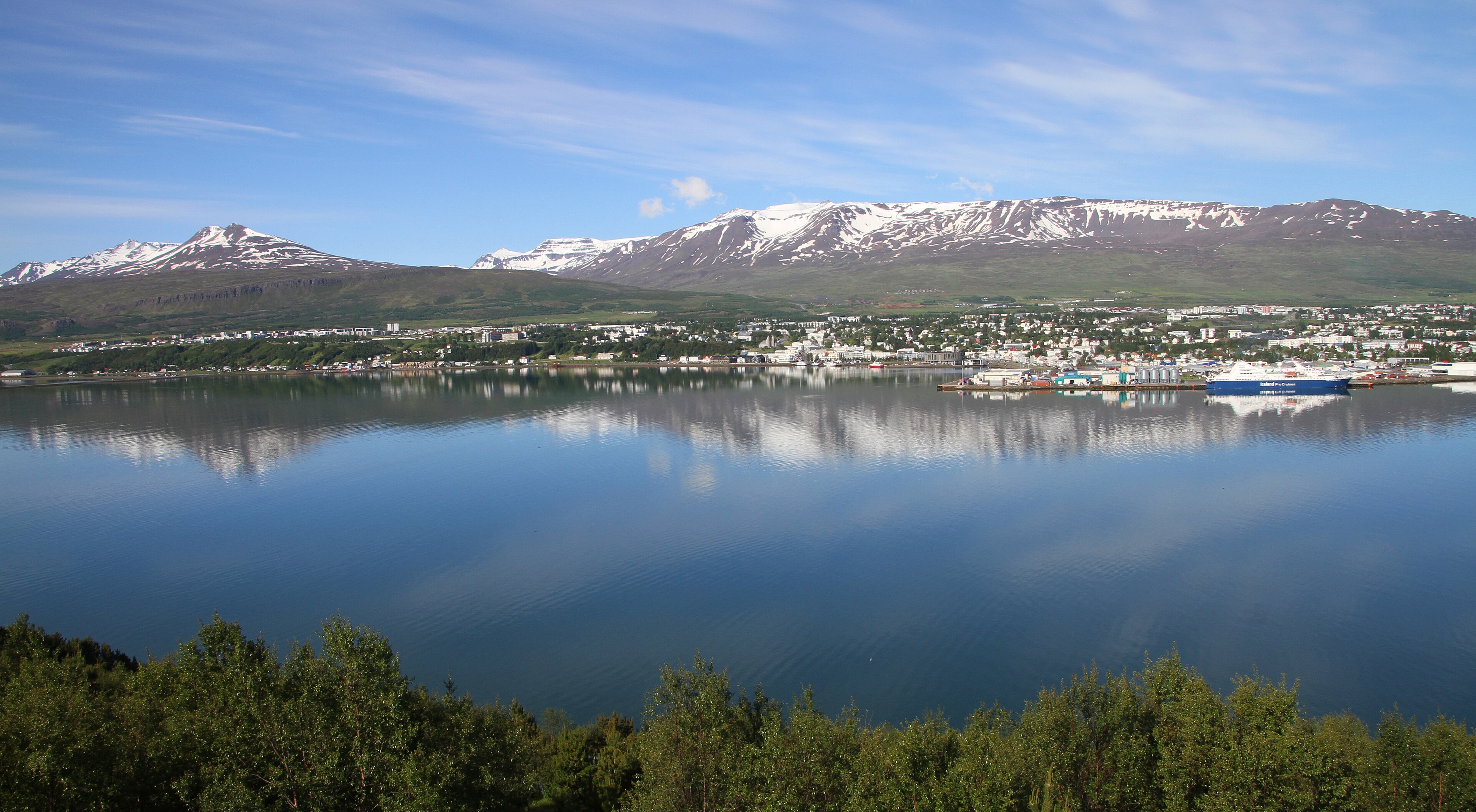
Akureyri on the western shore of Eyjafjörður, seen across the fjord
Akureyri across Eyjafjörður.

The centre is walkable. The airport is a few minutes south of town, which is why domestic flights from Reykjavík make sense if you only have a few days in the north. The car is still the usual tool once you want Mývatn or the coast.
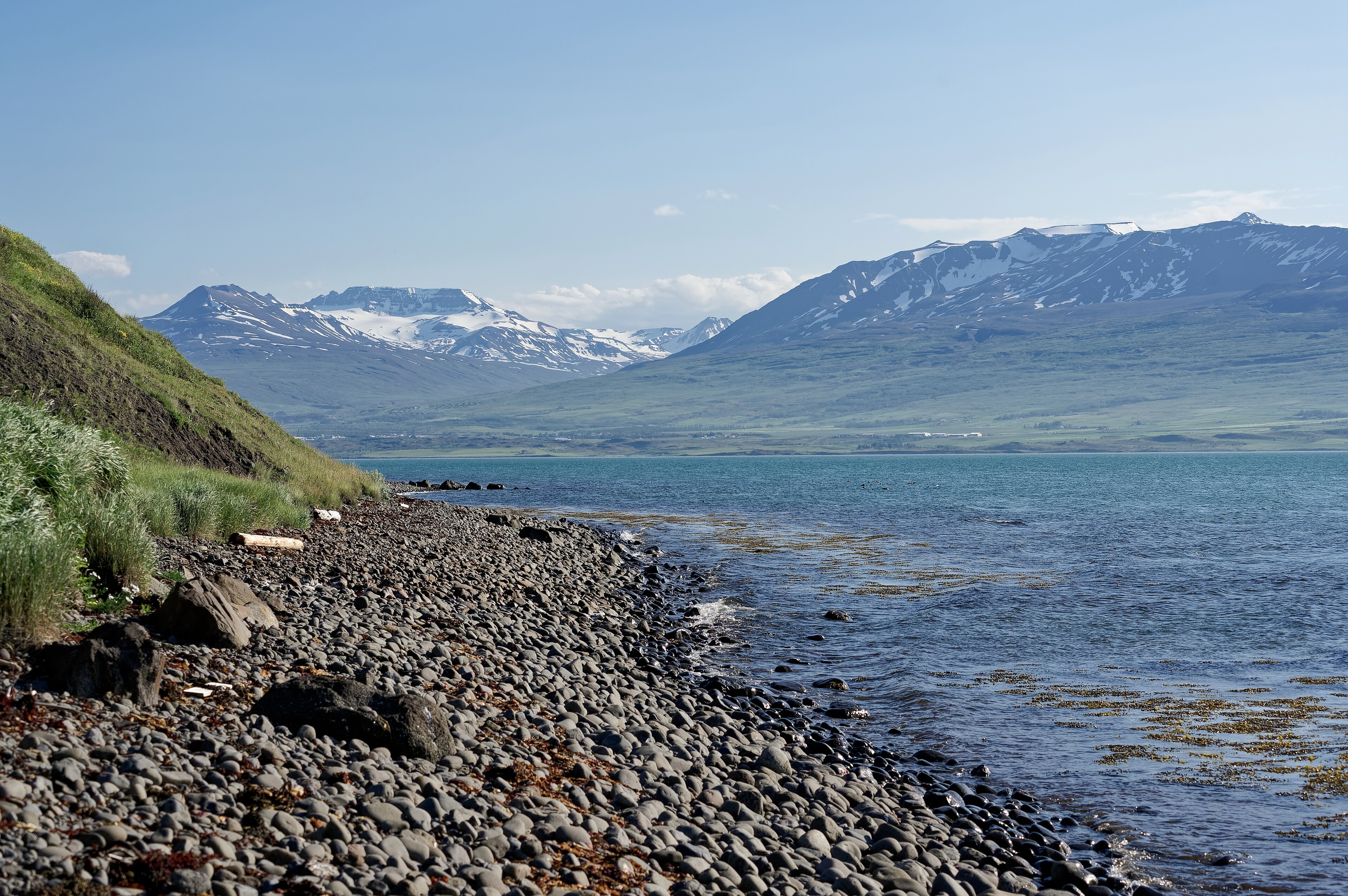
Eyjafjörður looking north, the long fjord that Akureyri sits on
Eyjafjörður looking along the shore north of town.

Goðafoss

On Route 1 east of town, on the Skjálfandafljót. A horseshoe of water. A short walk from the car park. It is on the way, which is why people stop. The name is the waterfall of the gods. The story is conversion-era. The water does not care.
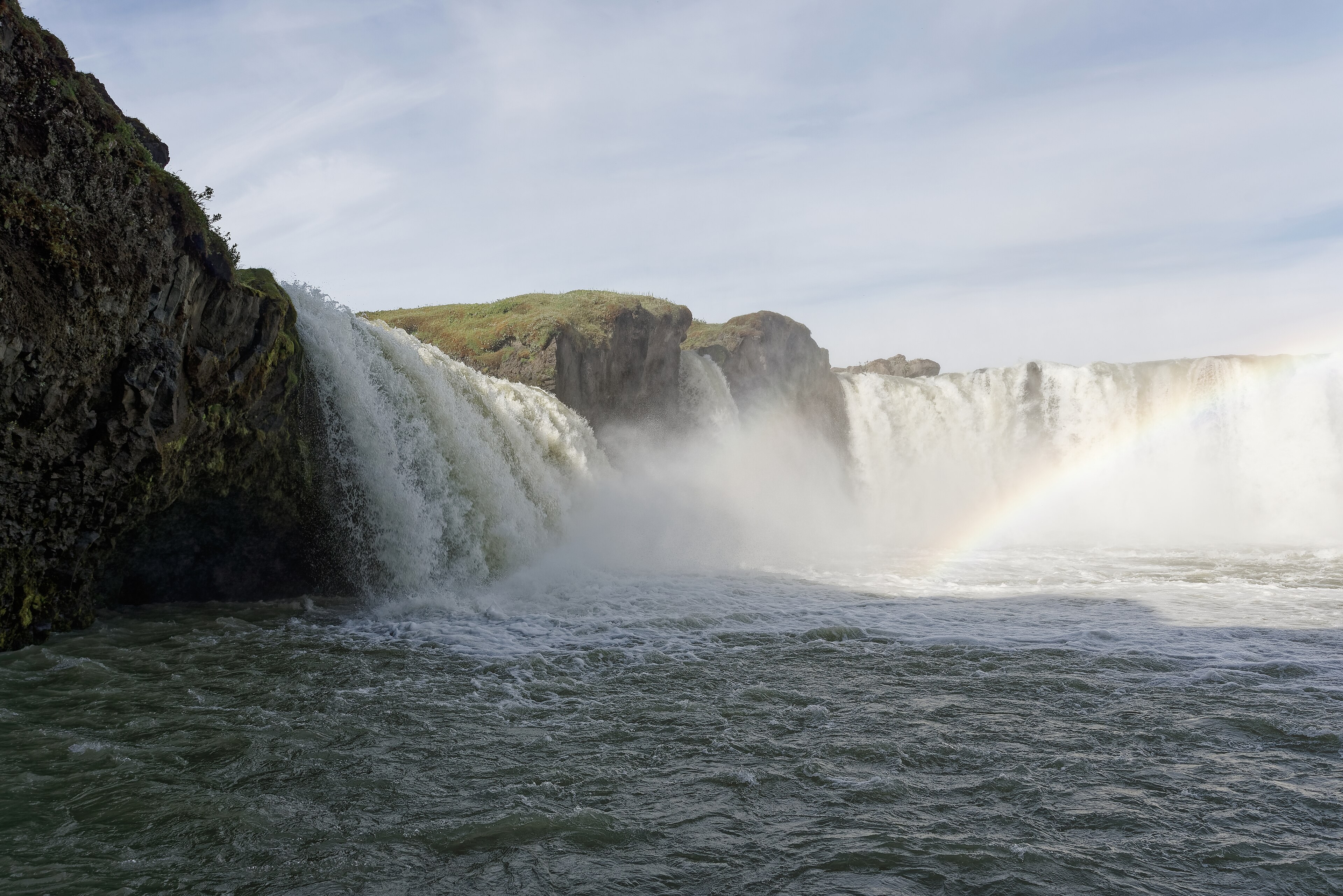
Goðafoss, a horseshoe waterfall on the Skjálfandafljót in north Iceland
Goðafoss on the Skjálfandafljót.

On the ring road, north

A tunnel east of Akureyri

Route 1, the Hringvegur, runs the island. East of Akureyri it no longer has to climb the old mountain pass.

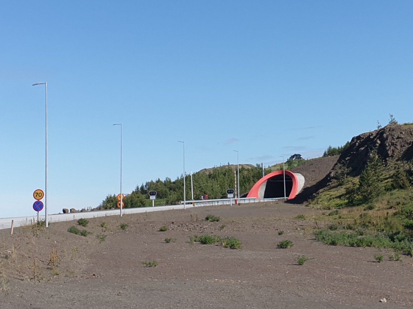
  • Vaðlaheiðargöng. A 7.4 km road tunnel on Route 1, just east of Akureyri, between Eyjafjörður and Fnjóskadalur. Opened 21 December 2018. Two lanes, posted 70 km/h, about 9.5 m wide.
  • What it replaces. The Víkurskarð pass, a 21 km stretch that often closed in winter.
  • What it shortens. The drive between Akureyri and Húsavík by about 16 km.
  • How it was built. Construction began 12 July 2013. Water ingress, including geothermal hot water, delayed the finish. Inside the tunnel the rock is warm in places.
  • On the ground. Number-plate cameras record passages. A contactless payment terminal sits on the Akureyri-side entrance for visitors who need to settle a passage on the ground.

The old pass remains as a free-weather alternative when it is open. The operator's public notice is on veggjald.is. English mail is [email protected]. Icelandic mail is [email protected].

The western entrance of Vaðlaheiðargöng, the road tunnel east of Akureyri on Route 1
Western entrance of Vaðlaheiðargöng. The cameras sit with the portal.

Mývatn

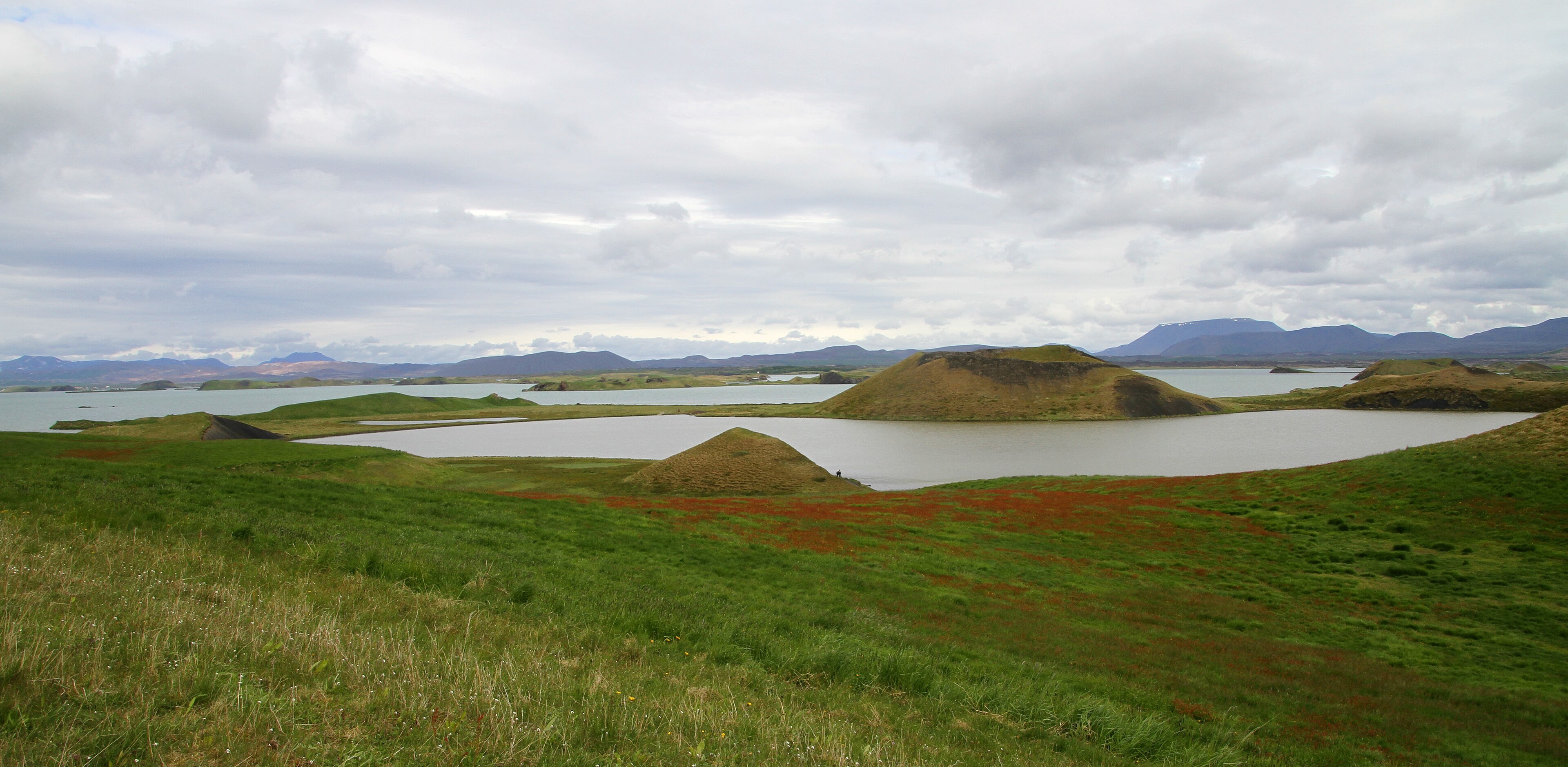
A lake in a volcanic field. Pseudocraters at Skútustaðagígar. Steam and mud at Hverir, by Námafjall. The Krafla area sits to the north-east. Midges in summer, which is how the lake got its name. Bring a head net if you mean to stand still.

Pseudocraters and water at Skútustaðagígar on the southern shore of Mývatn
Pseudocraters at Skútustaðagígar on the southern shore of Mývatn.

Húsavík

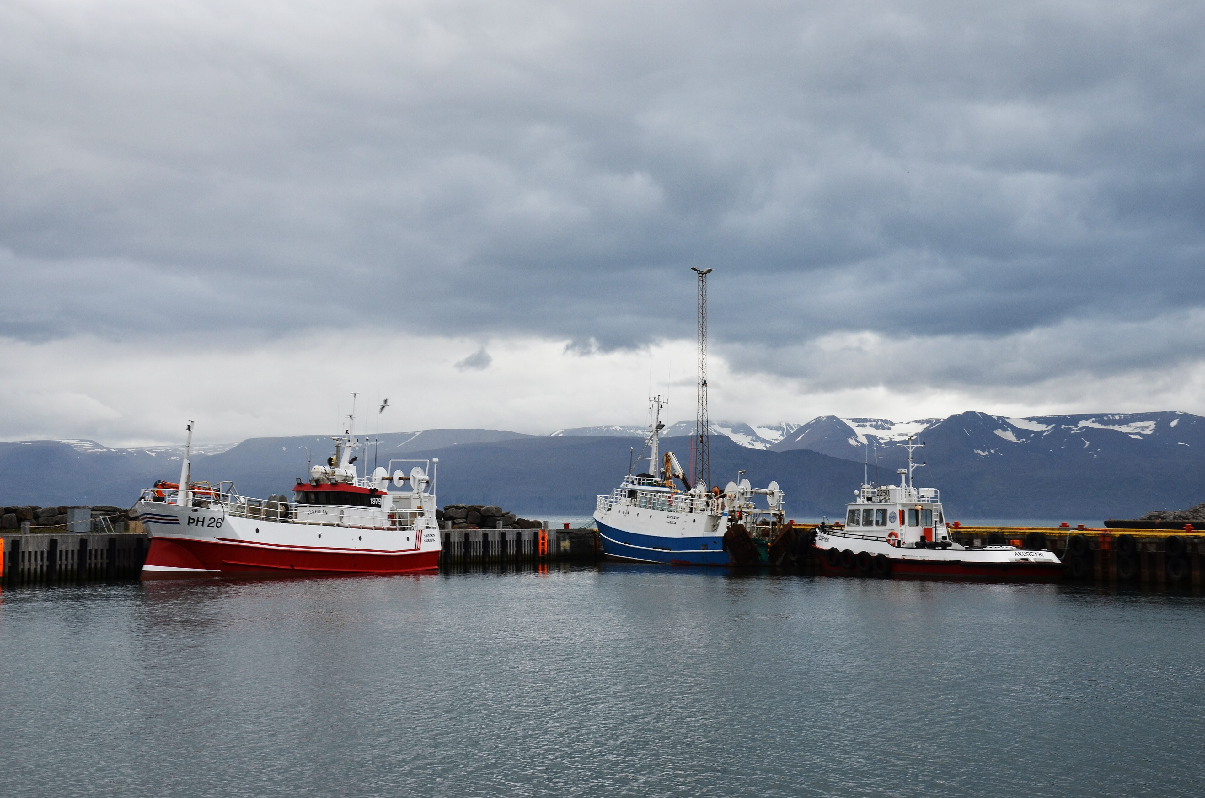
The harbour on Skjálfandi. Whale-watch boats work from here in season. The wooden church sits above the waterfront. We do not book you a seat and we do not name an operator as a button. If you want a boat, you deal with the harbour.

Húsavík harbour on Skjálfandi, with the wooden church above the waterfront
Húsavík harbour on Skjálfandi.

From Akureyri to Húsavík the ring now uses the tunnel. The old Víkurskarð pass is the weather alternative when it is open. Details sit in the note above.